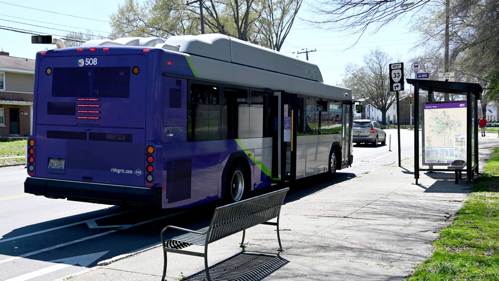
Richmond Connects — a city group tasked with guiding transportation projects and improvements over the next 5-10 years — has released an interactive map of Neighborhood Needs for 17 different areas of the River City.
✏️ Background
The report comes from a year-long effort to receive comments from the public. It began last summer with a public survey and webinar, then the group continued collecting feedback through pop-up events, focus groups, and telephone town halls.
Richmond Connects is an equity-centered process, meaning it focuses on righting past injustices which continue to burden neighborhoods and groups today. For example, it cites Jackson Ward as a neighborhood which experienced redlining and now is more vulnerable to the impacts of climate change.
📍 Neighborhood Needs map
The Neighborhood Needs map focuses on what aspects of transportation in each area are in greatest need of improvements. It includes information like identifying unsafe sidewalks and unreliable transit service. By clicking around on the map, Richmonders can get more details about the issues facing where they might live, work, or play.
Some of the highest priority needs identified were making Chamberlayne Avenue safer for pedestrians, increasing bike safety on Brook Road, and improving crossings on East Broad Street near I-95.
👟 What’s next
The next step is designating near and long-term recommendations before a final report is released in the fall. Want to get involved? Sign up for mobile updates from Richmond Connects to learn about upcoming events.
Give your feedback by filling out a survey based on the area where you live. Each survey area has recommendations for future projects. For example, the Church Hill/Nine Mile Road survey asks questions about traffic calming measures on Fairmount Avenue, pedestrian and bicycle safety improvements on Mosby Street, and adding nighttime lighting.
Share your thoughts on the projects — your input will help Richmond Connects determine which ones to pursue in the Near-Term Action Plan. Plus, you could win a $100 gift card.


