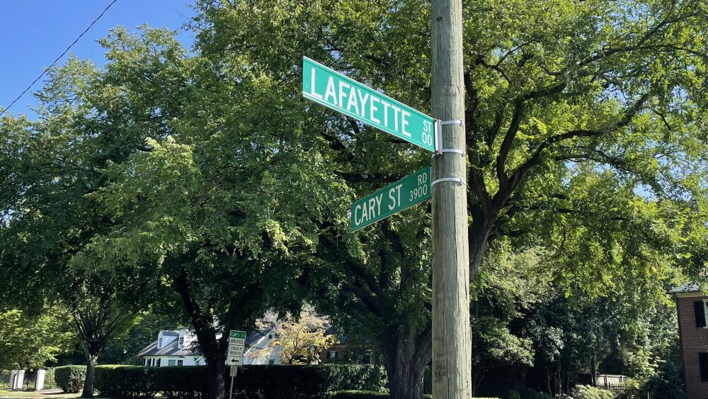
Anyone from Richmond will tell you: The street names around here are full of history. Streets like Arthur Ashe Boulevard, Patterson Avenue, and Foushee Street are named for notable Richmonders throughout history.
But for those willing to read between the lanes, there are traces of city history to be found in street names beyond their namesakes.
Throughout the city, there are several major thoroughfares bearing the designation “street road.” Hull Street becomes Hull Street Road at about 37th Street, and when Cary Street crosses over I-195, it becomes Cary Street Road.
At first glance, these transition points might seem arbitrary. But when you dig into the history of Richmond’s annexations from its surrounding counties, a pattern becomes clear.
Much of Richmond’s Far West End was once part of Henrico County. The city annexed large swaths of land from its neighbors in the early 1940s. The point at which Cary Street becomes Cary Street Road is actually the former border between the city and county.
The same is true for Hull Street and Hull Street Road — the point at which the street name changes is actually the former city limit. In 1970, Richmond annexed 23 square miles of Chesterfield County.
The move was controversial due to its impact on the city’s demographics. The area annexed was predominantly white, and city leaders even privately admitted that the addition was partly aimed to dilute the voting power of Richmond’s Black residents. The new borders stood, but led to a 1971 voting rights lawsuit and, eventually, a moratorium on city annexations.
Despite the historical evidence that these “street roads” mark the sites of historical city limits, we could dig up no official law or policy explaining why these streets needed to become roads when they passed into counties. The experts we reached out to didn’t know of any specific policies either.
This is where you come in: Do you know why these streets became “street roads?” Can you point us to any archived bylaws that caused this? Drop us a line.


